

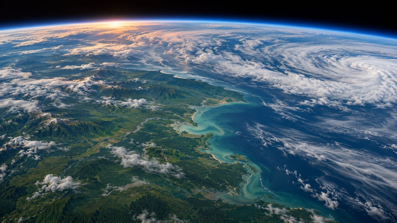
NASA announces the end of scientific observations of Terra on December 1, 2026. Launched in December 1999, this satellite has tracked fires, clouds, vegetation and oceans for almost 27 years. Its obsolete systems and orbit drift are now leading the agency to organize its closure.

Illustrative image
A mission ending in two stages
The announcement first establishes the purpose of data collection. The teams will then use the remaining fuel to lower orbit, before shutting down all systems in January 2027. NASA does not give, in this press release, a date for re-entry into the atmosphere.
Terra was initially scheduled to complete a six-year mission. However, not all of its instruments have maintained the same activity until today: MOPITT, dedicated to atmospheric pollution, as well as some parts of CERES and ASTER had already been closed to save energy. The decision now affects the entire observation program.
Terra’s interest went far beyond her photographs.
The mission was designed to observe the interactions between land, oceans, atmosphere and living things. Bringing together several instruments on the same platform allows you to compare your measurements at the same time. In this way, smoke seen over a continent can be studied in the context of the surface, atmosphere and energy balance, rather than remaining a simple trace in an image.
The MODIS spectroradiometer provides an example of this approach. It observes in 36 spectral bands: each one corresponds to a portion of the detected light, some of which are invisible to the human eye. Its wide observation band allows it to cover the planet every one or two days. Researchers thus have repeated passages at their disposal, useful for following the evolution of a phenomenon and not just its state on a given date. MODIS measures in particular cloudiness and the properties of particles suspended in the atmosphere. These aerosols can come from pollution, desert dust, volcanoes, or fires. Their monitoring helps to study the transport of the columns and their interaction with the energy received or returned by the Earth.

Schematic of the Terra satellite with locations of the five instruments.
On the surface, measurements also describe the extent of snow and the evolution of vegetation. These repeated passages allow seasons to be compared and lasting transformations to follow.
In the oceans, chlorophyll and its fluorescence provide information about photosynthetic organisms, including phytoplankton. An image taken on June 6, 2015, for example, showed a large bloom in the North Sea, between Denmark, the United Kingdom and Germany. The colors revealed large-scale biological structures, although definitive identification of the species would have required water sampling.
An environmental archive that will continue to be usable
The different sensors provide additional information about the carbon cycle. The structure and extent of vegetation, its activity and changes in land use help estimate exchanges between the biosphere and the atmosphere. Terra products track burned areas, agricultural transformations and forest changes in particular.
ASTER also made it possible to examine local transformations with a resolution of 15 meters in some of its images. On another scale, MOPITT measured carbon monoxide and contributed to the study of pollution movement. Therefore, the five instruments were not five interchangeable devices: their observations answered different questions, connected by the same orbital platform.
Another MODIS instrument flies aboard the Aqua satellite. Therefore, the closure of Terra does not eliminate all observations of this type, but it closes a specific series of this mission. Users should continue to consider the instrument, satellite, and acquisition conditions when reconciling data sets.
The measurements already collected will not disappear with the satellite: NASA confirms that they will remain freely accessible to the public after the closure. Researchers and users will be able to continue exploiting this fund for their studies and applications.


